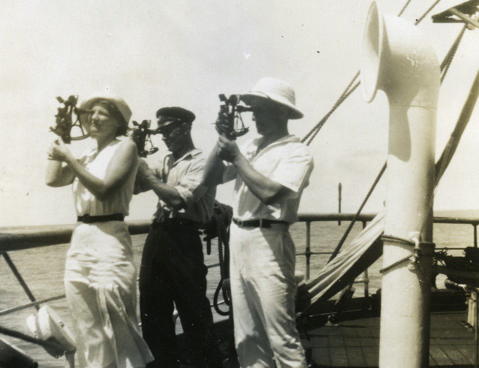
Compass, chronometre, sextant, log and sea charts are in principally all a navigator needs to determine position and follow a set course.
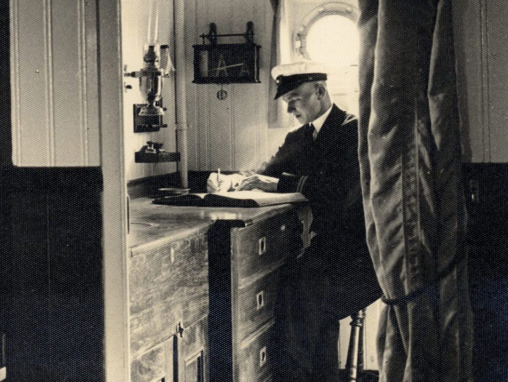
In older days, navigation was imprecise. Near the coast, navigators could rely on various landmarks to determine their position but out at sea they were more vulnerable. Even if the sailors had access to instruments such as compass, quadrant and astrolabe, these aids were not always reliable. When weather conditions prevented astronomical observations, sailing by dead reckoning was the only option. The captain calculated how far the ship had travelled from a certain point and then estimated the direction of travel. Based on this he drew a line on the chart and reach an estimated position. This was a very unreliable method since there were so many factors that could affect the outcome: currents, waves, winds, calculation errors and the difficulty of keeping to a set course in heavy seas.
Advanced astronomical navigation developed rapidly during the 18th and 19th centuries. The understanding of the compass and of magnetic declination and deviation deepened. The sextant and the chronometer were invented, both necessary to determine latitude and longitude. The chronometer, which de facto is a normal watch, was a particularly significant invention as it made it possible to reliably determine longitude at sea. The scope of the longitude problem was such that the British parliament in 1714 signed the Longitude Act, in which a prize was promised to whomever invented a reliable method for calculating longitude at sea. The problem was eventually solved by watchmaker Johan Harrison, who in 1761 presented the chronometer H4, a seaworthy precision watch, to the Longitude Board. H4 and its three predecessors can be seen at the Royal Observatory in Greenwich, UK.
Highlights
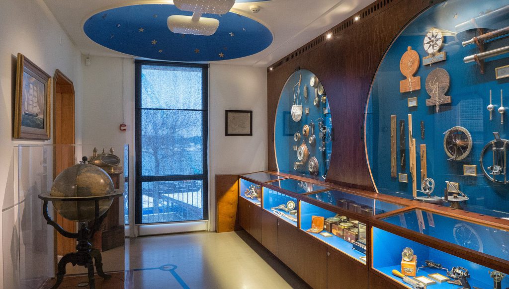
The instrument room displays our extensive collection of navigational instruments. In addition to the obvious sextants and chronometers we also show lesser-known instruments, such as the azimuth, salinometer, hydrometer and anemometer.
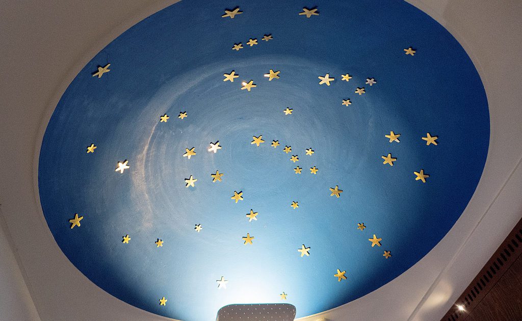
The night sky that adorns the ceiling in the instrument room is one of the building’s original features. The two domes represent the north and south skies and among the brass constellations you can find both the Stella Polaris and the Southern Cross.
More exhibitions
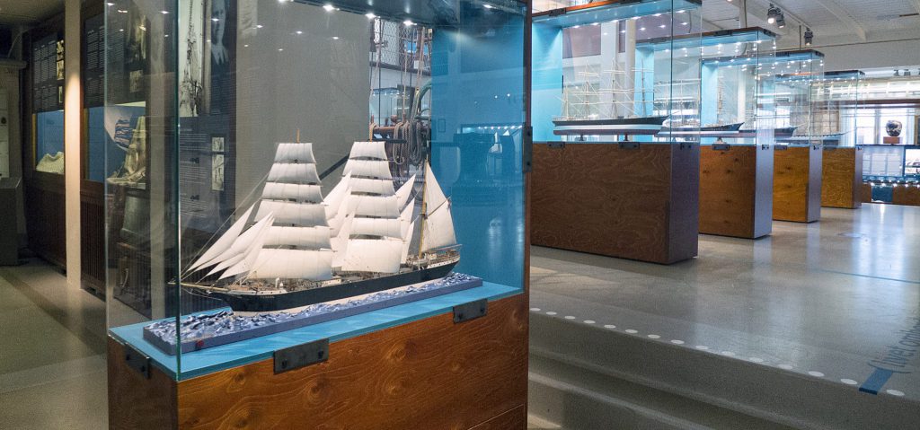
The Sailing Ship Era
Since time immemorial, sailing has been the Åland way of voyaging across the seas, and Mariehamn was the home port for the world’s last fleet of tall ships.
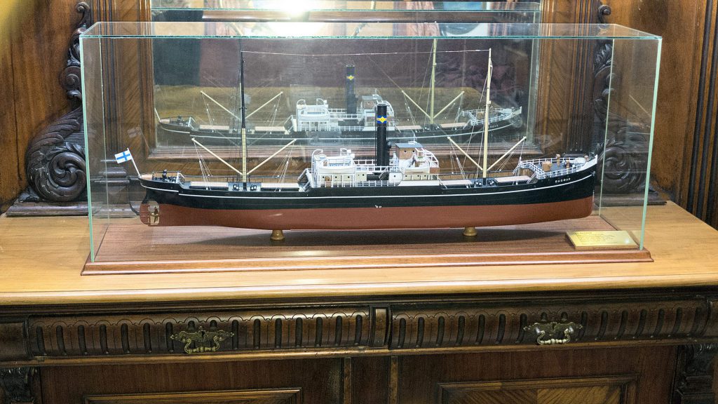
Engine-powered shipping
Engine-powered shipping was late in coming on Åland but once it had been established, it became the motor for modernizing Åland society at large.
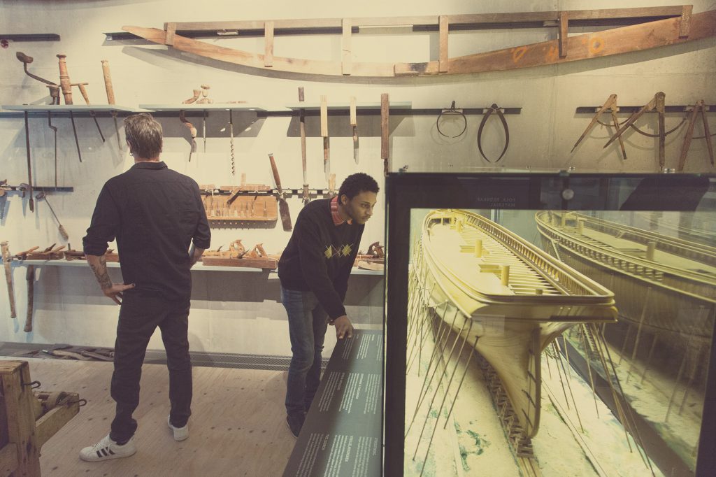
Shipbuilding
Despite shipbuilding never growing into an industry in its own right, hundreds of ships were built here.
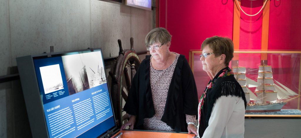
Safety at Sea
The sea and the wind are powerful natural elements that no human can tame. That said, there is plenty that can be done to promote safety on board and ashore.

Maritime Mariehamn
From the founding of Mariehamn in 1861 it has been a maritime town. This is were the professional shipping industry developed and this is were successful master mariners build their splendid homes.
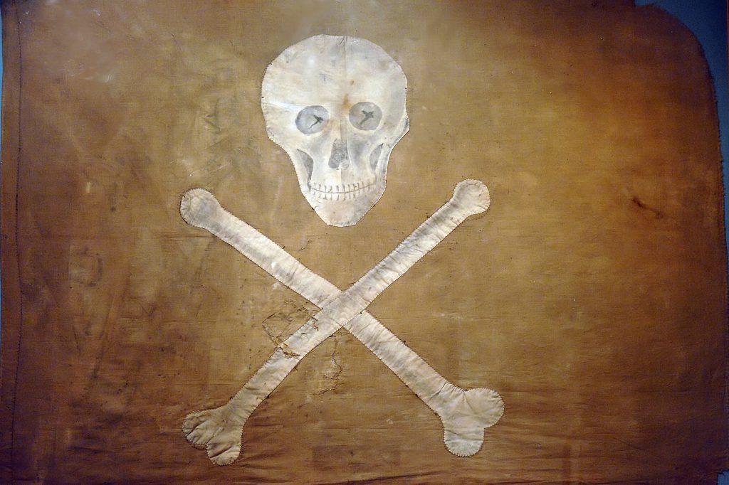
Cabinet of Curiosities
A cabinet of curiosities is made up of an eclectic collection of object that becomes a representation of all the world’s wonders and oddities in miniature.
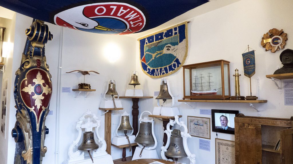
The Cape Horn Room
Amicale Internationale des Capitaines au Long Cours de Cape Horniers was an exclusive club for seafarers who had rounded the notorious Cape Horn in a cargo-carrying sailing vessel.
